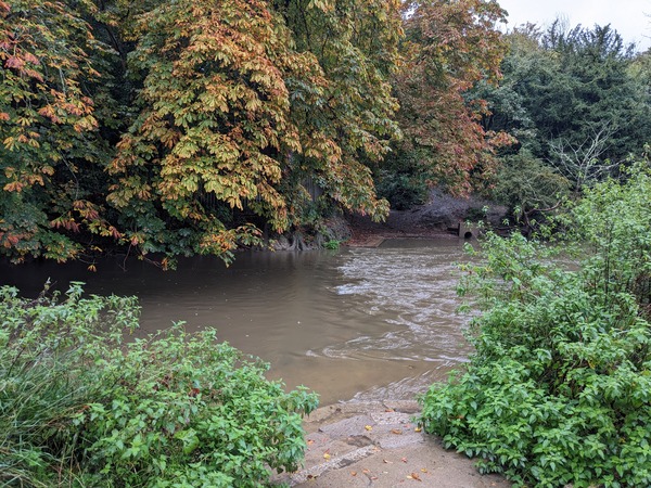
I expected another rainy day today. And when I arrived at the stepping stones bridge over the River Mole, it did start raining. But throughout the day, there wasn’t a huge amount of rain. There was occasional sunshine, and some of the rain that came was very light like the spray from the sea.
At the stepping stone bridge, the stepping stones were underwater. I could just see the ripples where they must have been. So I went by way of a wooden bridge that had been put up by the ramblers. And then I started climbing Box Hill.
But I didn’t look at my guidebook. I just kept going to the top of Box Hill, up all these sections of steep stairs, maybe about seven or eight of them in all. And when I got to the top of them all, I then looked at my guidebook and it said to go to the top of the third stairwell and then go around the hill.
I started going down on the first downward path. I didn’t worry too much. It kept mostly in a steady descent. And the surprising thing was that it came out exactly the same place as was described in the guidebook as the real Pilgrim’s Way.
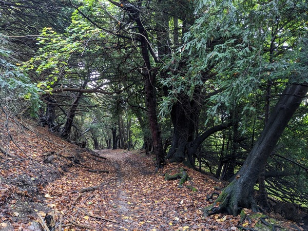
I had to go across a little lane and then along the top of the field near some pylons, skirting the bottom of the hill. The North Downs Way looked more spectacular. The Pilgrims Way isn’t as exciting as a tourist way could be, but keeps to the lower slopes where the view was hidden by trees.
There were places where there were steps up or down to help where there was a big incline. I got to the first road crossing after a dip that once was a quarry. They used to quarry chalk there and had lime kilns, and the quarry had been used for a Doctor Who production, I read somewhere.
At the first road, I went down the lane to a railway station. And that was not what the North Downs Way went. It was more direct, and I went in a loop. But the writer of the guidebook has tried to keep as close as possible to the original Pilgrims Way and used cartographers and experts to try and find the best way.
I started running out of water because it was hotter than I’d expected and I didn’t bring that much water because I hadn’t needed it in previous days.
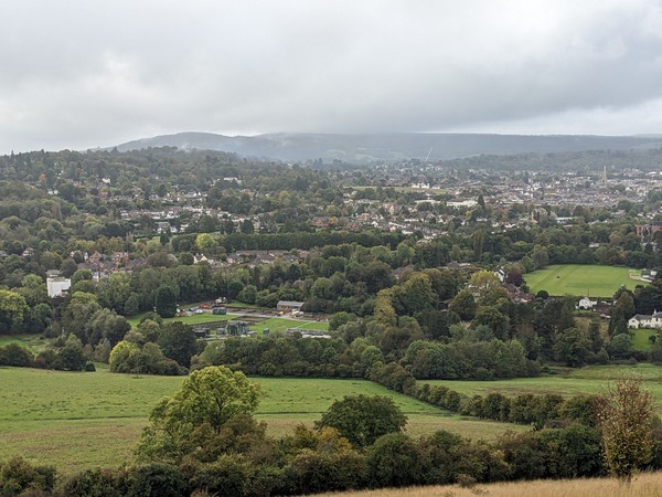
After a few hours, during which I’d seen about half a dozen people,, I got to what were areas I knew: Colley Hill, and Reigate Hill.
I felt like I could have gone further but decided to play it safe because of my leg and not push it because it would have been another three miles or so to Merstham.
I had the thought as I was skirting the hillside and not going over the top of the big hills with thier spectacular views that the Pilgrims Way was a humble way of travelling. Not a boastful tourist way.
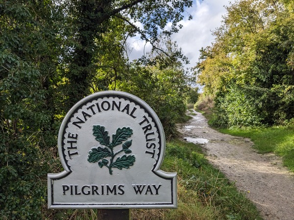
The way today ended with a National Trust sign that said ‘Pilgrims Way’. I had seen it when I was young near Reigate Hill and the seed grew from seeing that sign into the experience of walking it now.
The nearest road was a private residents only road with posh new houses called Pilgrims Way. It was named because of the location. The houses resembled anything but a humble pilgrim’s way.